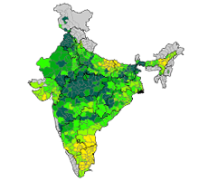
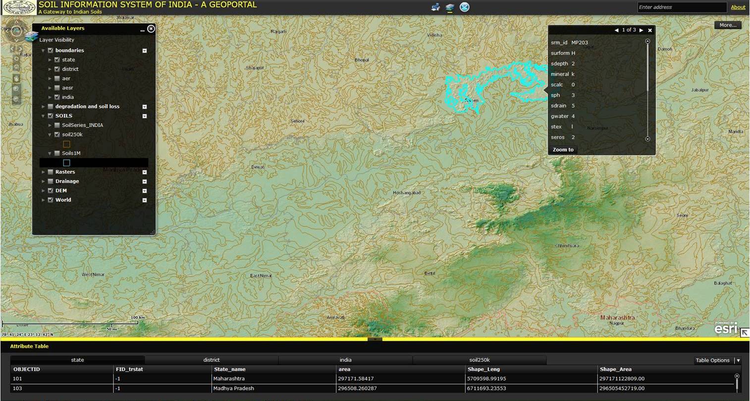
ICAR Geo-portal is an initiative to make geo-spatial data related to Agriculture to all the stakeholders. This portal makes it available rich geo-referenced data collected by ICAR institutions on climate, soil, cropping systems, land-use pattern etc. The following layers will be made available initially on Geo-portal: (i) base layers; (ii) area, production and productivity of major crops; (iii) soil maps (1:1 million) of NBSS&LUP; (iv) Agro-ecological regions and sub-regions of NBSS&LUP; (v) Vulnerability map and climate layers of CRIDA; (vi) ICAR Institutes/Regional Centres locations etc. Visualization of spatial data will be made available under open access, however, there could be some restrictions on downloading of layers due to national security, IPR issues etc.



 Dr. S. Ayyappan
 Dr. J.S. Sandhu
 Dr. A.K. Sikka
 Dr. N.K. Krishna Kumar
 Dr. K.M.L. Pathak
 Dr. (Mrs) B. Meenakumari
 Dr. K. Alagusundaram
 Dr. A.K. Singh
 Dr. Arvind Kumar